
Page 134 - Çevre Şehir ve İklim Dergisi İngilizce - Özel Sayı
P. 134
National Scale Land Cover Classification and Monitoring System
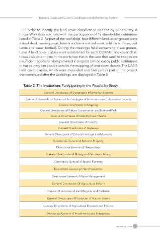
In order to identify the land cover classification needed by our country, A
Focus Workshop was held with the participation of 19 stakeholder institutions
listed in Table 2. As part of the workshop, four different land cover groups were
established (farming areas, forests and semi-natural areas, artificial surfaces, wet
lands and water bodies). During the meetings held concerning these groups,
Level 4 land cover classes were established for each CORINE land cover class.
It was also determined in the workshop that in the case that satellite images are
insufficient, terrestrial data provided in projects carried out by public institutions
in our country can also be used in the mapping of land cover classes. The UASIS
land cover classes, which were expanded and finalized as part of the project
that continued after the workshop, are displayed in Table 3.
Table 2: The Institutions Participating in the Feasibility Study
General Directorate of Geographic Information Systems
Center of Research for Advanced Technologies of Informatics and Information Security
General Directorate of Mapping
General Directorate of Nature Conservation and National Park
General Directorate of State Hydraulic Works
General Directorate of Forestry
General Directorate of Highways
General Directorate of Cultural Heritage and Museums
Directorate General of National Property
Directorate General of Meteorology
General Directorate of Mining and Petroleum Affairs
Directorate General of Spatial Planning
Directorate General pf Plant Production
Directorate General of Water Management
General Directorate Of Agricultural Reform
General Directorate of Land Registry and Cadastre
General Directorate of Protection of Natural Assets
General Directorate of Agricultural Research and Policies
Directorate General of Investments and Enterprises.
121
Special Issue / 2024