
Page 173 - Çevre Şehir İklim İngilizce - Sayı 4
P. 173
Fred Barış Ernst - İbrahim Yenigün
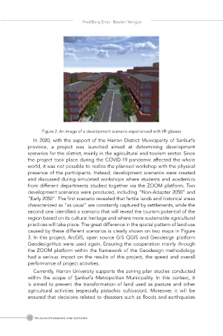
Figure 2. An image of a development scenario experienced with VR glasses
In 2020, with the support of the Harran District Municipality of Sanliurfa
province, a project was launched aimed at determining development
scenarios for the district, mainly in the agricultural and tourism sector. Since
the project took place during the COVID-19 pandemic affected the whole
world, it was not possible to realize the planned workshop with the physical
presence of the participants. Instead, development scenarios were created
and discussed during simulated workshops where students and academics
from different departments studied together via the ZOOM platform. Two
development scenarios were produced, including “Non-Adapter 2050” and
“Early 2050”. The first scenario revealed that fertile lands and historical areas
characterized as ”as usual” are constantly captured by settlements, while the
second one identified a scenario that will reveal the tourism potential of the
region based on its cultural heritage and where more sustainable agricultural
practices will take place. The great difference in the spatial pattern of land use
caused by these different scenarios is clearly shown on two maps in Figure
3. In this project, ArcGIS, open source GIS QGIS and Geodesign platform
GeodesignHub were used again. Ensuring the cooperation mainly through
the ZOOM platform within the framework of the Geodesign methodology
had a serious impact on the results of this project, the speed and overall
performance of project activities.
Currently, Harran University supports the zoning plan studies conducted
within the scope of Şanlıurfa Metropolitan Municipality. In this context, it
is aimed to prevent the transformation of land used as pasture and other
agricultural activities (especially pistachio cultivation). Moreover, it will be
ensured that decisions related to disasters such as floods and earthquakes
162 The Journal of Environment, Urban and Climate